Permits on public land
- Colorado OHV registration (residents) or Colorado OHV use permit (non-residents) required on public land — $25.25 via Colorado Parks & Wildlife (per USFS Pike-San Isabel). Check town rules on OHV street use in Ouray, Silverton and Lake City.
- Colorado OHV registration (residents) or Colorado OHV use permit (non-residents) required on public land — $25.25 via Colorado Parks & Wildlife (per USFS Pike-San Isabel).
- Colorado OHV registration/sticker
- Colorado OHV registration; plated or out-of-state vehicles need a Colorado OHV use permit on designated trails.
Trail system 2
Alpine Loop Back Country Byway
Lake City / Silverton / Ouray · Hinsdale / San Juan / Ouray County · Public land
65mi
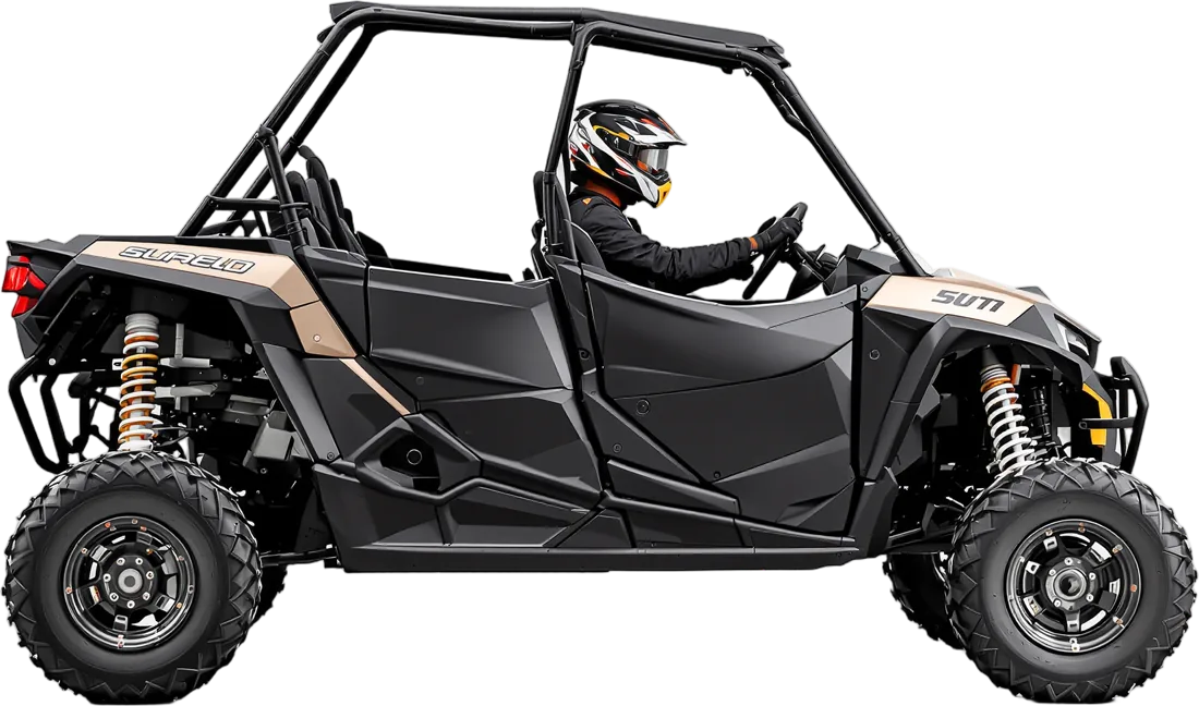
Classic San Juan Mountains high-alpine loop linking Lake City, Silverton and Ouray via Engineer and Cinnamon passes, with ghost towns and 12,000-ft+ views; hugely popular with rented side-by-sides.
Wagon Wheel OHV Trail System
Meeker · Rio Blanco County · Public land
250mi
Network of more than 250 miles and 16 interconnecting loops on the White River National Forest, reachable straight from the town of Meeker. Meeker and Rio Blanco County are OHV-friendly, and paper maps and a trail guide are available at the visitor center.
National forest 7
Black Bear Pass & Imogene Pass 4x4 Roads (Telluride–Ouray)
Ouray · San Miguel / Ouray County · Public land
Two famous San Juan high passes on the Grand Mesa–Uncompahgre–Gunnison NF. Black Bear Pass (FR 648/823) leaves US-550 at Red Mountain Pass and drops one-way down rock 'Steps' and switchbacks past Bridal Veil Falls into Telluride; Imogene Pass (#869) links Telluride and Ouray over 13,114 ft. Coordinates are town-level (Ouray). The nearby Alpine Loop is listed separately (co-alpine-loop).
Fourmile Travel Management Area
Buena Vista · Chaffee County · Public land
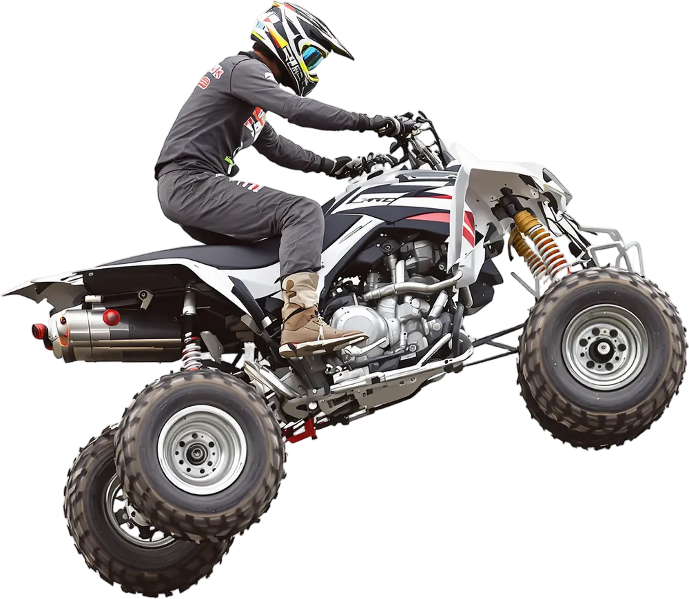
100,000 acres of Forest Service and BLM land in northern Chaffee County with ATV and motorcycle trails (incl. the Chinaman Gulch area).
Grand Mesa OHV Trails (GMUG National Forest)
Collbran · Mesa County · Public land
Grand Mesa, billed by the Forest Service as the largest flat-top mountain in the world, is listed for OHV trail riding on the Grand Mesa, Uncompahgre and Gunnison National Forests. Riders use designated roads and trails shown on the free MVUM.
Hancock Pass (FSR 295)
St. Elmo · Chaffee County · Public land
Pike-San Isabel National Forest road listed for OHV road riding, climbing south from the St. Elmo ghost town to Hancock Pass at 12,140 ft. It follows an old Denver, South Park & Pacific railbed and is rough enough that high-clearance 4WD is recommended.
Rainbow Falls Motorized Routes (Pike NF)
Woodland Park · Teller County · Public land
Motorized roads and 50-inch trails north of Woodland Park that link to the North Rampart Range riding area.
Rampart Range Motorized Recreation Area (Pike NF)
Sedalia / Woodland Park · Douglas County · Public land
Front Range motorized trail network along Rampart Range Road between Denver and Colorado Springs, connecting south to the Rainbow Falls routes (50-in. trails, no use fee beyond CO OHV registration).
Taylor Park (Gunnison NF)
Almont · Gunnison County · Public land
High-country basin around Taylor Reservoir known as a major ATV/UTV destination with a large network of forest roads and trails.
BLM land 9
Bangs Canyon OHV Trails
Grand Junction · Mesa County · Public land
Singletrack motorcycle trails, ATV-width trails, the Billings Canyon jeep trail and 4WD roads close to Grand Junction.
Flat Top–Peach Valley OHV Recreation Area
Montrose · Montrose County · Public land
75mi
A 9,700-acre BLM OHV area in the Gunnison Gorge NCA between Montrose and Olathe with 2,500+ acres of open play area, 75+ miles of multi-use trails and a skills course at the Peach Valley staging area.
Grand Valley Open OHV Area
Grand Junction · Mesa County · Public land
Open cross-country OHV area on the northeast side of the Grand Valley with camping (14-day limit).
Hartman Rocks Recreation Area
Gunnison · Gunnison County · Public land
90mi
14,000+ acres just south of Gunnison with 45 miles of singletrack (dirt bikes OK) and 45 miles of roads for 4x4s, ATVs and ROVs.
Penrose Commons Recreation Area (Independence Trail System)
Penrose · Fremont County · Public land
30mi
BLM area 10 miles east of Cañon City with 30 miles of motorized trail for ATVs, dirt bikes and 4x4s. The Independence Trail system is known for extreme 4x4 rock crawling with easy spectator access; restroom, trailer parking and dispersed camping.
Rabbit Valley (McInnis Canyons NCA)
Mack · Mesa County · Public land
Western Colorado riding area right off I-70 near the Utah line with OHV routes and five reservable campgrounds; access to Kokopelli's Trail toward Moab.
Rangely Rock Crawling Park
Rangely · Rio Blanco County · Public land
The only BLM-designated natural rock crawling park in Colorado: about 560 acres just southwest of Rangely with named lines like Megasaurus, Chain Break, Poison Ivy and Willy's Way. Two entrances off River Rd/CR 2 and White Ave/CR 23; two club events a year. Coordinates are town-level (Rangely).
Seep Springs OHV Area
Cañon City · Fremont County · Public land
16mi
16 miles of roads and trails through piñon-juniper and ponderosa near Cañon City.
Texas Creek Recreation Area (OHV)
Cotopaxi · Fremont County · Public land
45mi
BLM Royal Gorge Field Office OHV area above the Arkansas River with about 45 miles of marked trails. Routes run from easy 4x4 roads to tight, rocky ATV switchbacks, with old mines and views of the Sangre de Cristo range. Low snow means it is often rideable all year.
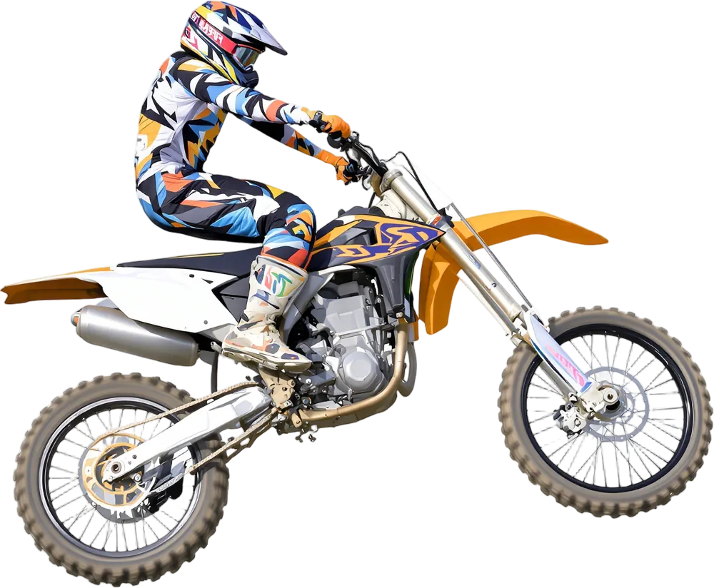
MX track 6
Aztec Raceway
Colorado Springs · El Paso County · Private
Colorado Springs motocross track.
IMI Motorsports
Dacono · Weld County · Private
Multi-track motorsports complex north of Denver with a motocross track, two off-road dirt courses for ATVs, and a 1/5-mile dirt oval used for flat track racing. Also runs asphalt kart rentals and a quarter-midget track.
Lakeview Motosports Park
Ordway area · Crowley County · Private
Southeast Colorado motocross park.
Sweney Cycle Park
Brush · Morgan County · Private
Eastern plains motocross track in Brush.
Thunder Valley Motocross Park
Lakewood · Jefferson County · Private
Motocross park in the foothills west of Denver; hosts the Thunder Valley Pro Motocross National (June 12, 2027).
Two Rivers Racing
Greeley area · Weld County · Private
Northern Colorado motocross track.
Dunes 1
Races & events
- Jan 7, 2027International Sportsmen's Exposition (Denver)Colorado Convention Center · Denver · International Sportsmen's Expositions (ISE)
- Jan 8, 2027AMA Throttlecross Round 2 – Colorado SpringsBroadmoor World Arena · Colorado Springs · AMA Throttlecross Series (Rocky Mountain Regional Championship)
- Jan 22, 2027AMA Throttlecross Round 3 – LovelandBlue Arena · Loveland · AMA Throttlecross Series (Rocky Mountain Regional Championship)
- Feb 26, 2027AMA Throttlecross Round 5 – DenverNational Western Events Center · Denver · AMA Throttlecross Series (Rocky Mountain Regional Championship)
- May 8, 2027Monster Energy AMA Supercross Round 16 – DenverEmpower Field at Mile High · Denver · Monster Energy AMA Supercross Championship
- Jun 12, 2027Thunder Valley National – Pro Motocross Round 3Thunder Valley Motocross Park · Lakewood · AMA Pro Motocross Championship
- Jul 24, 2027Rally Colorado 2027Forest/gravel road special stages · Rangely · American Rally Association National Championship
- Aug 15, 2027Breck EpicBreckenridge (various stages) · Breckenridge · Mountain biking
- Aug 20, 2027Overland Expo Mountain West 2027Riverdale Regional Park · Brighton · Overland Expo
- Sep 19, 2027Jeep Jamboree: Telluride to Moab Adventure 2027Telluride-area trails · Telluride · Jeep Jamboree USA
- Sep 23, 2027Jeep Jamboree: Ouray 2027Ouray-area trails · Ouray · Jeep Jamboree USA
- TBALife Time Leadville Trail 100 MTBDowntown Leadville (6th & Harrison start/finish) · Leadville · Life Time Grand Prix / Leadville Race Series
- TBALoretta Lynn's South Central Area Qualifier – Thunder Valley Motocross ParkThunder Valley Motocross Park · Lakewood · Monster Energy AMA Amateur National Motocross Championship (Road to Loretta Lynn's)
- TBANATC National MotoTrials Rounds 5–6Turkey Rock Trials Area · Howard · AMA/NATC MotoTrials National Championship